Cliffe View and Carr Houses
Introduction
The photograph on this page of Cliffe View and Carr Houses by Jonathan Clitheroe as part of the Geograph project.
The Geograph project started in 2005 with the aim of publishing, organising and preserving representative images for every square kilometre of Great Britain, Ireland and the Isle of Man.

There are currently over 7.5m images from over 14,400 individuals and you can help contribute to the project by visiting https://www.geograph.org.uk
Cliffe View and Carr Houses
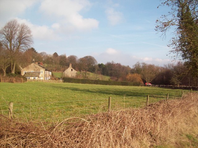
Image: © Jonathan Clitheroe Taken: 9 Feb 2011
This picture was taken from Mayfield Road on a bright midweek afternoon in early February.
Images are licensed for reuse under creativecommons.org/licenses/by-sa/2.0
Image Location
Latitude
53.359963
Longitude
-1.553848