Redmires Conduit viewed from Blackbrook Road
Introduction
The photograph on this page of Redmires Conduit viewed from Blackbrook Road by Jonathan Clitheroe as part of the Geograph project.
The Geograph project started in 2005 with the aim of publishing, organising and preserving representative images for every square kilometre of Great Britain, Ireland and the Isle of Man.

There are currently over 7.5m images from over 14,400 individuals and you can help contribute to the project by visiting https://www.geograph.org.uk
Redmires Conduit viewed from Blackbrook Road
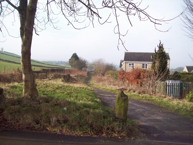
Image: © Jonathan Clitheroe Taken: 9 Feb 2011
Public footpath which leads towards Lodge Moor Road and Redmires reservoirs. The houses to the right are part of a cul-de-sac called The Pines - a relatively new development.
Images are licensed for reuse under creativecommons.org/licenses/by-sa/2.0
Image Location
Latitude
53.368627
Longitude
-1.563376