Stream at Burton
Introduction
The photograph on this page of Stream at Burton by mike smith as part of the Geograph project.
The Geograph project started in 2005 with the aim of publishing, organising and preserving representative images for every square kilometre of Great Britain, Ireland and the Isle of Man.

There are currently over 7.5m images from over 14,400 individuals and you can help contribute to the project by visiting https://www.geograph.org.uk
Stream at Burton
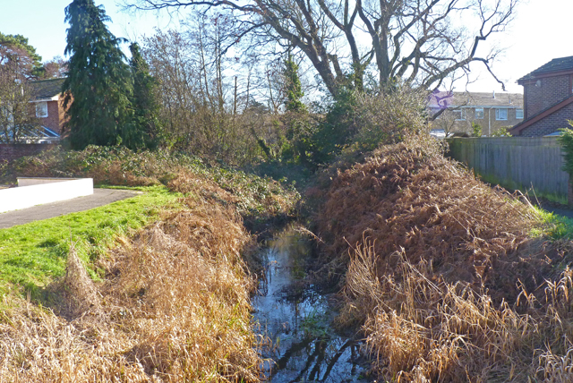
Image: © mike smith Taken: 8 Feb 2011
This watercourse, unnamed on maps, rises in the fields to the north of Burton, and joins the near-by River Avon.
Images are licensed for reuse under creativecommons.org/licenses/by-sa/2.0
Image Location
Latitude
50.75464
Longitude
-1.769586