Disused church on Whitehall Road.
Introduction
The photograph on this page of Disused church on Whitehall Road. by David Anstiss as part of the Geograph project.
The Geograph project started in 2005 with the aim of publishing, organising and preserving representative images for every square kilometre of Great Britain, Ireland and the Isle of Man.

There are currently over 7.5m images from over 14,400 individuals and you can help contribute to the project by visiting https://www.geograph.org.uk
Disused church on Whitehall Road.
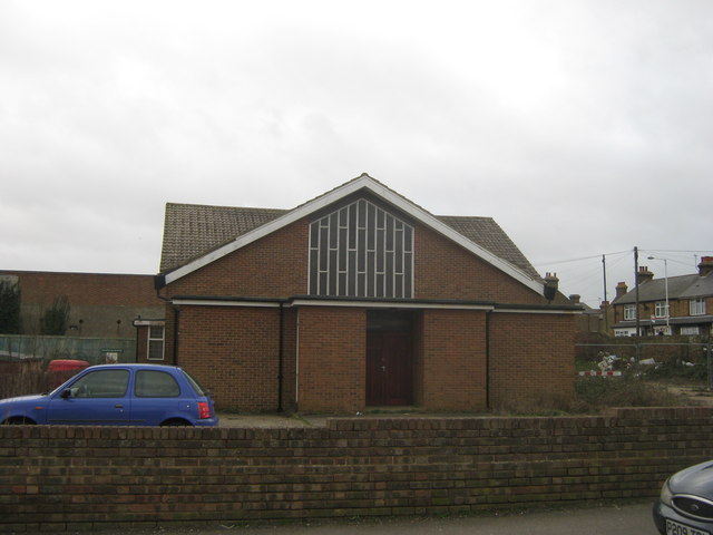
Image: © David Anstiss Taken: 6 Feb 2011
This small unknown church is on the junction of Whitehall Road (in front) and Newington Road (on the right). A board outside said that a planning application is being sort for a new housing development on the site.
Images are licensed for reuse under creativecommons.org/licenses/by-sa/2.0
Image Location
Latitude
51.342605
Longitude
1.400166