Houses in High Street, Foulsham
Introduction
The photograph on this page of Houses in High Street, Foulsham by Evelyn Simak as part of the Geograph project.
The Geograph project started in 2005 with the aim of publishing, organising and preserving representative images for every square kilometre of Great Britain, Ireland and the Isle of Man.

There are currently over 7.5m images from over 14,400 individuals and you can help contribute to the project by visiting https://www.geograph.org.uk
Houses in High Street, Foulsham
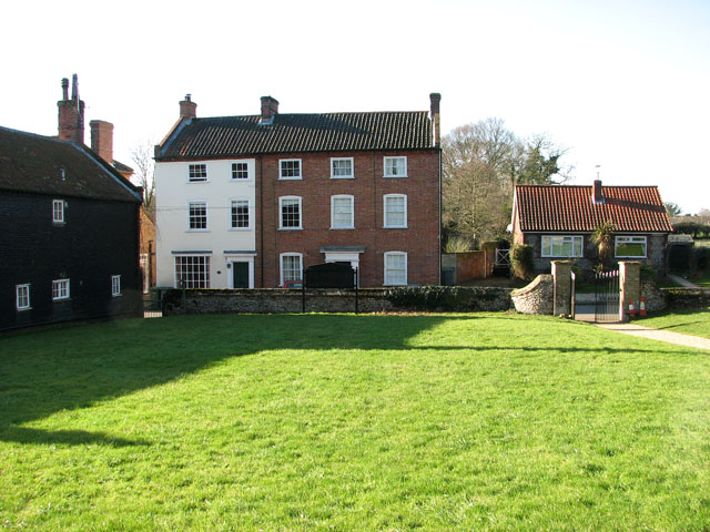
Image: © Evelyn Simak Taken: 8 Feb 2011
The village of Foulsham is situated south-east of Fakenham, close to the A1067 (Norwich to Fakenham) road. In summer 1770 a devastating fire caused considerable damage to the village, destroying a number of buildings.
Images are licensed for reuse under creativecommons.org/licenses/by-sa/2.0
Image Location
Latitude
52.784946
Longitude
1.011444