Hornbeam Road
Introduction
The photograph on this page of Hornbeam Road by Ian Capper as part of the Geograph project.
The Geograph project started in 2005 with the aim of publishing, organising and preserving representative images for every square kilometre of Great Britain, Ireland and the Isle of Man.

There are currently over 7.5m images from over 14,400 individuals and you can help contribute to the project by visiting https://www.geograph.org.uk
Hornbeam Road
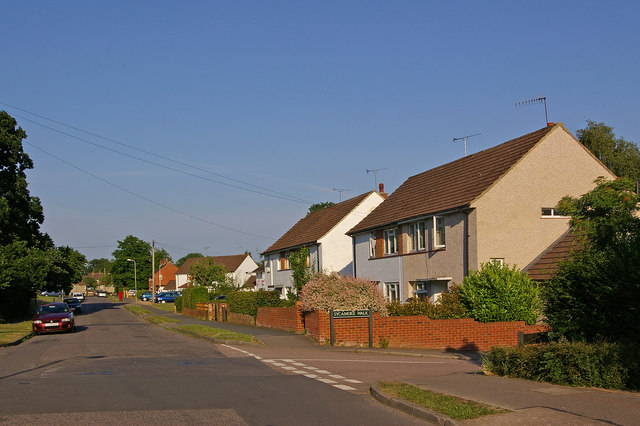
Image: © Ian Capper Taken: 23 Jun 2010
This area of Reigate, between Woodhatch and Meadvale, was largely developed in the 1950s, with roads named after trees. This is Hornbeam Road, with Sycamore Walk off to the right.
Images are licensed for reuse under creativecommons.org/licenses/by-sa/2.0
Image Location
Latitude
51.225902
Longitude
-0.196043