The Axeholme trail
Introduction
The photograph on this page of The Axeholme trail by roger geach as part of the Geograph project.
The Geograph project started in 2005 with the aim of publishing, organising and preserving representative images for every square kilometre of Great Britain, Ireland and the Isle of Man.

There are currently over 7.5m images from over 14,400 individuals and you can help contribute to the project by visiting https://www.geograph.org.uk
The Axeholme trail
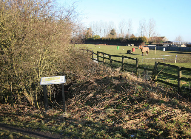
Image: © roger geach Taken: 8 Feb 2011
The Axeholme trail follows the course of the old railway line towards Epworth. This line shut as long ago as 1956 well before the Beeching cuts of the 1960s.
Images are licensed for reuse under creativecommons.org/licenses/by-sa/2.0
Image Location
Latitude
53.494829
Longitude
-0.837788