Manston Golf Centre, Driving Range
Introduction
The photograph on this page of Manston Golf Centre, Driving Range by David Anstiss as part of the Geograph project.
The Geograph project started in 2005 with the aim of publishing, organising and preserving representative images for every square kilometre of Great Britain, Ireland and the Isle of Man.

There are currently over 7.5m images from over 14,400 individuals and you can help contribute to the project by visiting https://www.geograph.org.uk
Manston Golf Centre, Driving Range
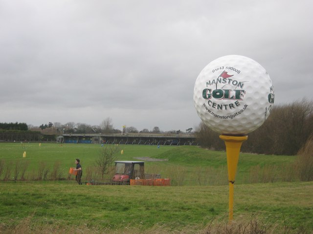
Image: © David Anstiss Taken: 6 Feb 2011
As seen from the A256 Haine Road. In the foreground a young man collects all the previous session golf balls in baskets, and put them on his buggy.
Images are licensed for reuse under creativecommons.org/licenses/by-sa/2.0
Image Location
Latitude
51.344886
Longitude
1.383531