Northern end of Halls Road Terrace, Pontywaun
Introduction
The photograph on this page of Northern end of Halls Road Terrace, Pontywaun by Jaggery as part of the Geograph project.
The Geograph project started in 2005 with the aim of publishing, organising and preserving representative images for every square kilometre of Great Britain, Ireland and the Isle of Man.

There are currently over 7.5m images from over 14,400 individuals and you can help contribute to the project by visiting https://www.geograph.org.uk
Northern end of Halls Road Terrace, Pontywaun
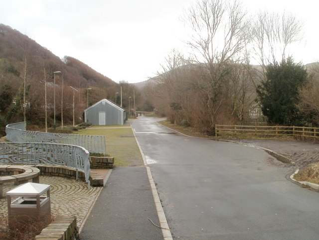
Image: © Jaggery Taken: 7 Feb 2011
Looking towards Pontywaun Spiritualist Church http://www.geograph.org.uk/photo/2262367 from the edge of the B4591. That's not an optical illusion causing a distortion in the metal fences on the left, but elaborate patterns.
Images are licensed for reuse under creativecommons.org/licenses/by-sa/2.0
Image Location
Latitude
51.625889
Longitude
-3.1282