Withybush Airfield
Introduction
The photograph on this page of Withybush Airfield by Natasha Ceridwen de Chroustchoff as part of the Geograph project.
The Geograph project started in 2005 with the aim of publishing, organising and preserving representative images for every square kilometre of Great Britain, Ireland and the Isle of Man.

There are currently over 7.5m images from over 14,400 individuals and you can help contribute to the project by visiting https://www.geograph.org.uk
Withybush Airfield
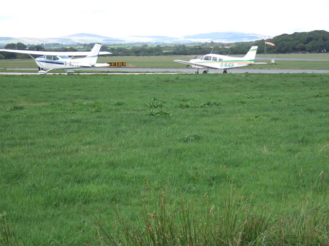
Image: © Natasha Ceridwen de Chroustchoff Taken: 26 Aug 2006
The airfield lies a few miles north of Haverfordwest/Hwlfordd and is used for recreational flying and lessons, with no commercial flights. Beyond the planes the Mynydd Preseli can be seen in the distance.
Images are licensed for reuse under creativecommons.org/licenses/by-sa/2.0
Image Location


Leaflet Map data © OpenStreetMap
Latitude
51.830356
Longitude
-4.966377