Frecheville Community Centre
Introduction
The photograph on this page of Frecheville Community Centre by David Morris as part of the Geograph project.
The Geograph project started in 2005 with the aim of publishing, organising and preserving representative images for every square kilometre of Great Britain, Ireland and the Isle of Man.

There are currently over 7.5m images from over 14,400 individuals and you can help contribute to the project by visiting https://www.geograph.org.uk
Frecheville Community Centre
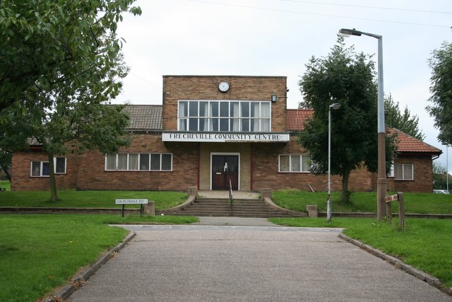
Image: © David Morris Taken: 26 Aug 2006
A straight concrete drive creates quite an imposing approach to the Community Centre which nestles in the middle of the estate. The older maps show a pond behind the community centre and it was with a certain degree of skepticism that I checked google maps satellite imagery to find that the pond was still there. I must go for a walk behind the building some time and check it out.
Images are licensed for reuse under creativecommons.org/licenses/by-sa/2.0
Image Location
Latitude
53.346902
Longitude
-1.403622