Viking Coastal Trail crosses the A28 Canterbury Road
Introduction
The photograph on this page of Viking Coastal Trail crosses the A28 Canterbury Road by David Anstiss as part of the Geograph project.
The Geograph project started in 2005 with the aim of publishing, organising and preserving representative images for every square kilometre of Great Britain, Ireland and the Isle of Man.

There are currently over 7.5m images from over 14,400 individuals and you can help contribute to the project by visiting https://www.geograph.org.uk
Viking Coastal Trail crosses the A28 Canterbury Road
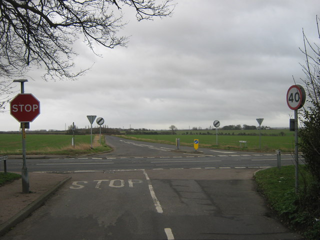
Image: © David Anstiss Taken: 6 Feb 2011
The long distance cycle trail leads from St. Nicholas at Wade (via Manor Road) and then down to Monkton (via Orchard Lane).
Images are licensed for reuse under creativecommons.org/licenses/by-sa/2.0
Image Location
Latitude
51.349758
Longitude
1.256191