Mill Place, E14
Introduction
The photograph on this page of Mill Place, E14 by Derek Harper as part of the Geograph project.
The Geograph project started in 2005 with the aim of publishing, organising and preserving representative images for every square kilometre of Great Britain, Ireland and the Isle of Man.

There are currently over 7.5m images from over 14,400 individuals and you can help contribute to the project by visiting https://www.geograph.org.uk
Mill Place, E14
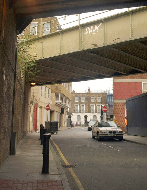
Image: © Derek Harper Taken: 1 Feb 2011
The street in Limehouse, seen from beneath two railway arches, the nearer carrying the DLR. The Georgian houses facing the camera are on Commercial Road.
Images are licensed for reuse under creativecommons.org/licenses/by-sa/2.0
Image Location
Latitude
51.512349
Longitude
-0.034623