Meadow Road, Greengates
Introduction
The photograph on this page of Meadow Road, Greengates by Humphrey Bolton as part of the Geograph project.
The Geograph project started in 2005 with the aim of publishing, organising and preserving representative images for every square kilometre of Great Britain, Ireland and the Isle of Man.

There are currently over 7.5m images from over 14,400 individuals and you can help contribute to the project by visiting https://www.geograph.org.uk
Meadow Road, Greengates
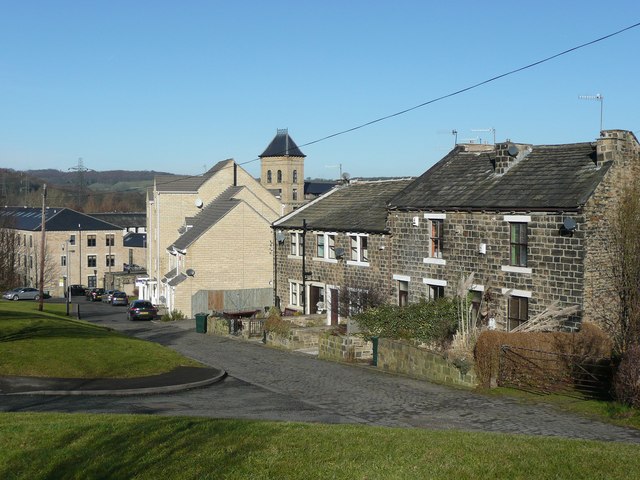
Image: © Humphrey Bolton Taken: 3 Feb 2011
This cobbled road has been retained alongside Tenterfields, the broad spine road of the housing estate that has been built on the site of Valley Mills. Part of the mills still exists - a tower can be seen over the rooftops. Meadow Road was the start of an old route to Apperley Lane, which was a footpath beyond the mills.
Images are licensed for reuse under creativecommons.org/licenses/by-sa/2.0
Image Location
Latitude
53.833407
Longitude
-1.709746