Farm track signs at Penmarth
Introduction
The photograph on this page of Farm track signs at Penmarth by Rod Allday as part of the Geograph project.
The Geograph project started in 2005 with the aim of publishing, organising and preserving representative images for every square kilometre of Great Britain, Ireland and the Isle of Man.

There are currently over 7.5m images from over 14,400 individuals and you can help contribute to the project by visiting https://www.geograph.org.uk
Farm track signs at Penmarth
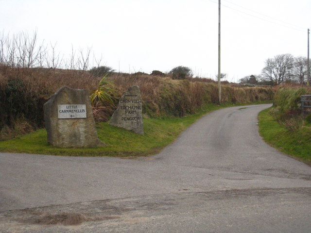
Image: © Rod Allday Taken: 4 Feb 2011
There are numerous small farms on the slopes of Carnmenellis, served by a network of tracks.
Images are licensed for reuse under creativecommons.org/licenses/by-sa/2.0
Image Location
Latitude
50.175829
Longitude
-5.224004