Houses at Moors Farm
Introduction
The photograph on this page of Houses at Moors Farm by Graham Horn as part of the Geograph project.
The Geograph project started in 2005 with the aim of publishing, organising and preserving representative images for every square kilometre of Great Britain, Ireland and the Isle of Man.

There are currently over 7.5m images from over 14,400 individuals and you can help contribute to the project by visiting https://www.geograph.org.uk
Houses at Moors Farm
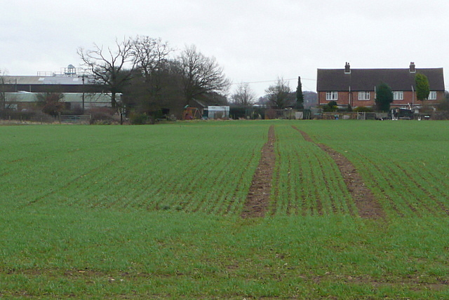
Image: © Graham Horn Taken: 5 Feb 2011
The row of farm cottages, near the farm buildings, is visible from a long way away across the bleak windswept plateau, where the fields and large and without hedgerows. The farming is solely arable.
Images are licensed for reuse under creativecommons.org/licenses/by-sa/2.0
Image Location
Latitude
51.721513
Longitude
-0.569646