Botley Green
Introduction
The photograph on this page of Botley Green by Graham Horn as part of the Geograph project.
The Geograph project started in 2005 with the aim of publishing, organising and preserving representative images for every square kilometre of Great Britain, Ireland and the Isle of Man.

There are currently over 7.5m images from over 14,400 individuals and you can help contribute to the project by visiting https://www.geograph.org.uk
Botley Green
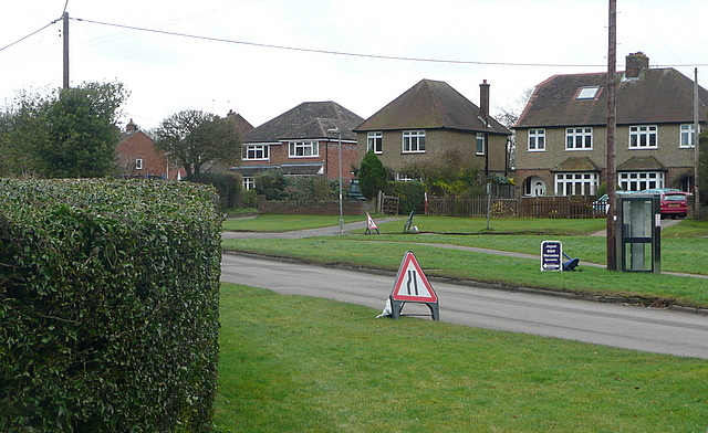
Image: © Graham Horn Taken: 5 Feb 2011
I don't know if it is called Botley Green (the road opposite is Broomstick Lane) but it forms the function of a green, with a village shop off to the left.
Images are licensed for reuse under creativecommons.org/licenses/by-sa/2.0
Image Location
Latitude
51.7103
Longitude
-0.579263