Undercliffe Health Care Centre
Introduction
The photograph on this page of Undercliffe Health Care Centre by Humphrey Bolton as part of the Geograph project.
The Geograph project started in 2005 with the aim of publishing, organising and preserving representative images for every square kilometre of Great Britain, Ireland and the Isle of Man.

There are currently over 7.5m images from over 14,400 individuals and you can help contribute to the project by visiting https://www.geograph.org.uk
Undercliffe Health Care Centre
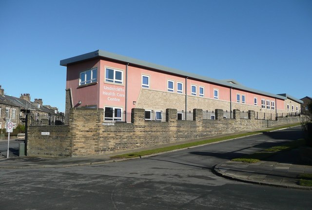
Image: © Humphrey Bolton Taken: 3 Feb 2011
This is a narrow wing, seen from Barmby Road. The main block is behind, off Lowther Street.
Images are licensed for reuse under creativecommons.org/licenses/by-sa/2.0
Image Location
Latitude
53.805601
Longitude
-1.734234