Broadacres, Guildford
Introduction
The photograph on this page of Broadacres, Guildford by Colin Smith as part of the Geograph project.
The Geograph project started in 2005 with the aim of publishing, organising and preserving representative images for every square kilometre of Great Britain, Ireland and the Isle of Man.

There are currently over 7.5m images from over 14,400 individuals and you can help contribute to the project by visiting https://www.geograph.org.uk
Broadacres, Guildford
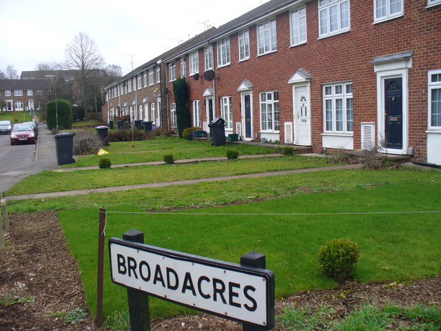
Image: © Colin Smith Taken: 6 Feb 2011
Suburban through road in north-west Guildford with modern neo-Georgian terraced houses. The road leads from the Aldershot Road into the residential area of Park Barn and to the Royal Surrey County Hospital.
Images are licensed for reuse under creativecommons.org/licenses/by-sa/2.0
Image Location
Latitude
51.251758
Longitude
-0.606336