Southdown from Woodhuish Lane
Introduction
The photograph on this page of Southdown from Woodhuish Lane by Derek Harper as part of the Geograph project.
The Geograph project started in 2005 with the aim of publishing, organising and preserving representative images for every square kilometre of Great Britain, Ireland and the Isle of Man.

There are currently over 7.5m images from over 14,400 individuals and you can help contribute to the project by visiting https://www.geograph.org.uk
Southdown from Woodhuish Lane
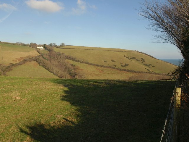
Image: © Derek Harper Taken: 30 Jan 2011
Southdown is a hamlet just south of the built-up area of Brixham. The white building is Southdown Farm. The hill reaches the sea at Southdown Cliff on the right. The valley in between the hill and the camera reaches the sea at Man Sands. Taken from the same point as Image
Images are licensed for reuse under creativecommons.org/licenses/by-sa/2.0
Image Location
Latitude
50.372318
Longitude
-3.522883