Upper Dolwilkin
Introduction
The photograph on this page of Upper Dolwilkin by Richard Webb as part of the Geograph project.
The Geograph project started in 2005 with the aim of publishing, organising and preserving representative images for every square kilometre of Great Britain, Ireland and the Isle of Man.

There are currently over 7.5m images from over 14,400 individuals and you can help contribute to the project by visiting https://www.geograph.org.uk
Upper Dolwilkin
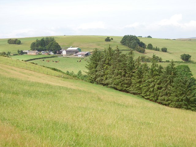
Image: © Richard Webb Taken: 13 Aug 2006
Farm on Bailey Hill. Former moorland, now improved grassland. Moorland is becoming less common in Radnorshire, and I remember the hills white with lime in the 1960's when some moors were ploughed and the soil sweetened with Calcium oxide, neutralising the acidic soil.
Images are licensed for reuse under creativecommons.org/licenses/by-sa/2.0
Image Location


Leaflet Map data © OpenStreetMap
Latitude
52.34801
Longitude
-3.114201