St Mary's Church, Rickinghall Inferior, Suffolk
Introduction
The photograph on this page of St Mary's Church, Rickinghall Inferior, Suffolk by Charles Greenhough as part of the Geograph project.
The Geograph project started in 2005 with the aim of publishing, organising and preserving representative images for every square kilometre of Great Britain, Ireland and the Isle of Man.

There are currently over 7.5m images from over 14,400 individuals and you can help contribute to the project by visiting https://www.geograph.org.uk
St Mary's Church, Rickinghall Inferior, Suffolk
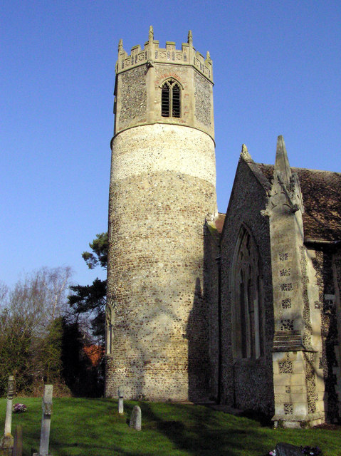
Image: © Charles Greenhough Taken: 28 Jan 2006
Parishioners have recently recorded the inscriptions of most of the headstones in the churchyard. The index is now available at http://stmarysrickinghallinferior.onesuffolk.net/churchyard-survey/ Image]
Images are licensed for reuse under creativecommons.org/licenses/by-sa/2.0
Image Location
Latitude
52.336072
Longitude
0.991408