The River Ravensbourne - Downham Branch, north of Farmfield Road, BR1 (3)
Introduction
The photograph on this page of The River Ravensbourne - Downham Branch, north of Farmfield Road, BR1 (3) by Mike Quinn as part of the Geograph project.
The Geograph project started in 2005 with the aim of publishing, organising and preserving representative images for every square kilometre of Great Britain, Ireland and the Isle of Man.

There are currently over 7.5m images from over 14,400 individuals and you can help contribute to the project by visiting https://www.geograph.org.uk
The River Ravensbourne - Downham Branch, north of Farmfield Road, BR1 (3)
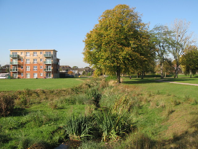
Image: © Mike Quinn Taken: 8 Oct 2009
The area in the foreground is a depression designed, as part of flood control measures, to form a pond when there is a lot of water flowing in the stream - see the satellite image http://wtp2.appspot.com/wheresthepath.htm?lat=51.42417095150705&lon=-0.000058686670421624046&gz=19&oz=10>=1.
Images are licensed for reuse under creativecommons.org/licenses/by-sa/2.0
Image Location
Latitude
51.424143
Longitude
-0.000795