Gauging house on New River
Introduction
The photograph on this page of Gauging house on New River by Robin Webster as part of the Geograph project.
The Geograph project started in 2005 with the aim of publishing, organising and preserving representative images for every square kilometre of Great Britain, Ireland and the Isle of Man.

There are currently over 7.5m images from over 14,400 individuals and you can help contribute to the project by visiting https://www.geograph.org.uk
Gauging house on New River
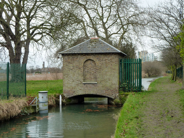
Image: © Robin Webster Taken: 5 Feb 2011
Above the feed points from this artificial water supply channel to the two reservoirs here. The first reservoir is on the left, largely hidden by its reeds.
Images are licensed for reuse under creativecommons.org/licenses/by-sa/2.0
Image Location
Latitude
51.57307
Longitude
-0.084822