St Mary's Bay
Introduction
The photograph on this page of St Mary's Bay by Derek Harper as part of the Geograph project.
The Geograph project started in 2005 with the aim of publishing, organising and preserving representative images for every square kilometre of Great Britain, Ireland and the Isle of Man.

There are currently over 7.5m images from over 14,400 individuals and you can help contribute to the project by visiting https://www.geograph.org.uk
St Mary's Bay
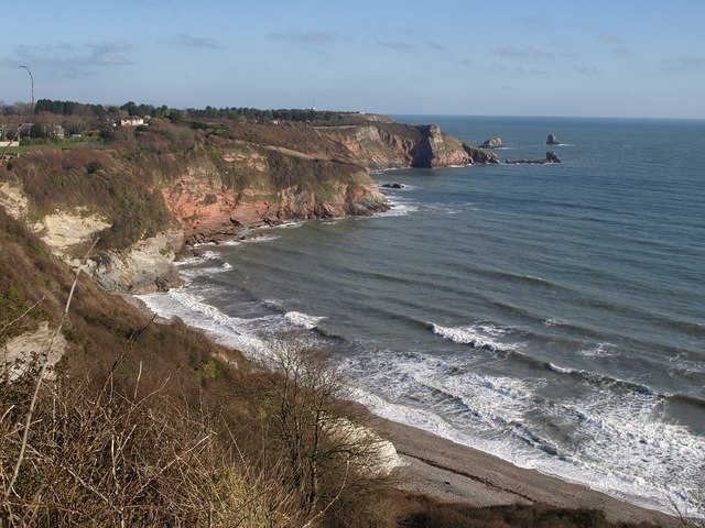
Image: © Derek Harper Taken: 30 Jan 2011
Virtually identical to Image, taken from the South West Coast Path at a different season, with rather more surf in evidence.
Images are licensed for reuse under creativecommons.org/licenses/by-sa/2.0
Image Location


Leaflet Map data © OpenStreetMap
Latitude
50.389692
Longitude
-3.500931