Loughborough Road in Whitwick
Introduction
The photograph on this page of Loughborough Road in Whitwick by Mat Fascione as part of the Geograph project.
The Geograph project started in 2005 with the aim of publishing, organising and preserving representative images for every square kilometre of Great Britain, Ireland and the Isle of Man.

There are currently over 7.5m images from over 14,400 individuals and you can help contribute to the project by visiting https://www.geograph.org.uk
Loughborough Road in Whitwick
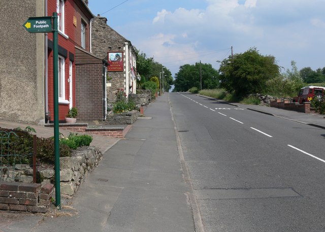
Image: © Mat Fascione Taken: 26 Jun 2010
Just ahead on the left is the Man Within Compass public house. The public footpath leads into Cademan Wood.
Images are licensed for reuse under creativecommons.org/licenses/by-sa/2.0
Image Location
Latitude
52.745694
Longitude
-1.35053