Pylons and power lines, Carrickfergus (1)
Introduction
The photograph on this page of Pylons and power lines, Carrickfergus (1) by Albert Bridge as part of the Geograph project.
The Geograph project started in 2005 with the aim of publishing, organising and preserving representative images for every square kilometre of Great Britain, Ireland and the Isle of Man.

There are currently over 7.5m images from over 14,400 individuals and you can help contribute to the project by visiting https://www.geograph.org.uk
Pylons and power lines, Carrickfergus (1)
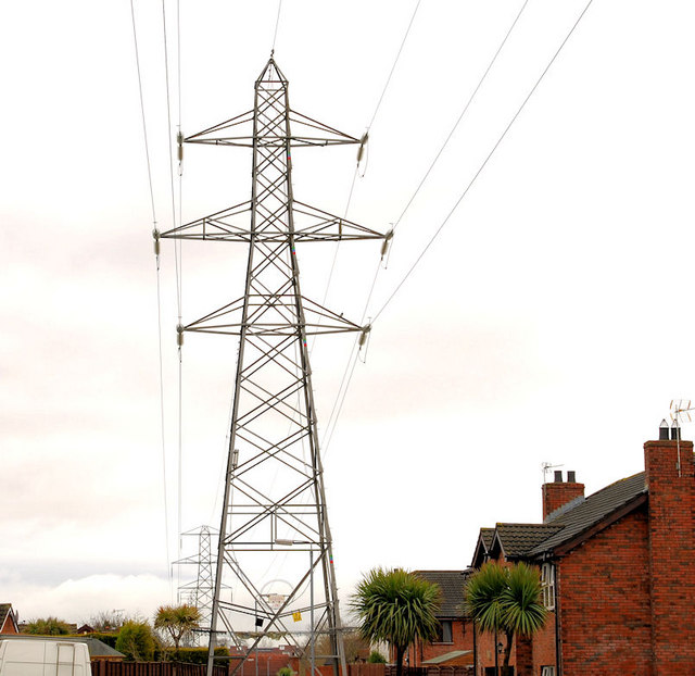
Image: © Albert Bridge Taken: 5 Feb 2011
Pylons and power lines about to cross the Woodburn Road at the back of Crossgreen. Although coming from the direction of Image they don’t (subject to the accuracy of my map reading) seem to be connected to Kilroot power station. They seem, instead, to be a continuation of Image from Ballylumford power stations. Image shows the next pylon – on the other side of the Woodburn Road.
Images are licensed for reuse under creativecommons.org/licenses/by-sa/2.0
Image Location
Latitude
54.723032
Longitude
-5.828049