St. Mark's Church, Westmoreland Road, BR2
Introduction
The photograph on this page of St. Mark's Church, Westmoreland Road, BR2 by Mike Quinn as part of the Geograph project.
The Geograph project started in 2005 with the aim of publishing, organising and preserving representative images for every square kilometre of Great Britain, Ireland and the Isle of Man.

There are currently over 7.5m images from over 14,400 individuals and you can help contribute to the project by visiting https://www.geograph.org.uk
St. Mark's Church, Westmoreland Road, BR2
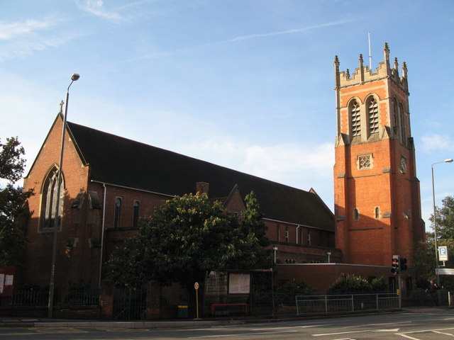
Image: © Mike Quinn Taken: 8 Oct 2009
The church is late Victorian - see its website http://www.stmarksbromley.co.uk/ for its history and other info.
Images are licensed for reuse under creativecommons.org/licenses/by-sa/2.0
Image Location
Latitude
51.398384
Longitude
0.015736