Nant Melyn (Yellow Brook)
Introduction
The photograph on this page of Nant Melyn (Yellow Brook) by Colin Jones as part of the Geograph project.
The Geograph project started in 2005 with the aim of publishing, organising and preserving representative images for every square kilometre of Great Britain, Ireland and the Isle of Man.

There are currently over 7.5m images from over 14,400 individuals and you can help contribute to the project by visiting https://www.geograph.org.uk
Nant Melyn (Yellow Brook)
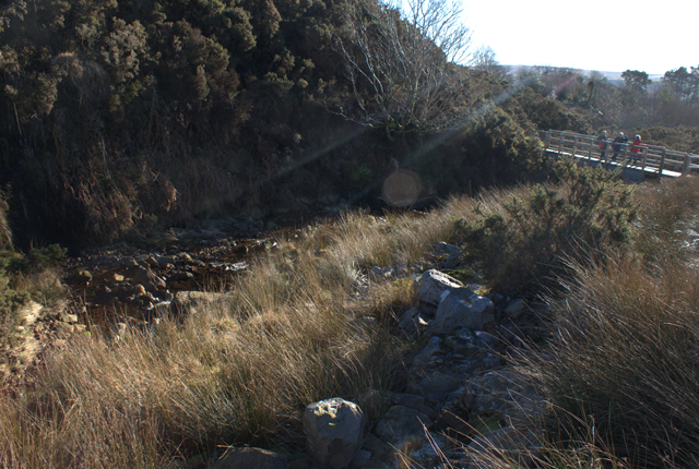
Image: © Colin Jones Taken: 20 Jan 2011
A foot bridge crossing the ‘Nant Melyn’ (Yellow Brook) within the Brecon Beacons National Park with ruined sheep folds in the foreground. The Brynaman ‘commoners’ used to hold their hardy mountain sheep within these stone walls ready for washing in the river.
Images are licensed for reuse under creativecommons.org/licenses/by-sa/2.0
Image Location
Latitude
51.819319
Longitude
-3.86747