Poultry Shed, Grassington Farm
Introduction
The photograph on this page of Poultry Shed, Grassington Farm by Simon Carey as part of the Geograph project.
The Geograph project started in 2005 with the aim of publishing, organising and preserving representative images for every square kilometre of Great Britain, Ireland and the Isle of Man.

There are currently over 7.5m images from over 14,400 individuals and you can help contribute to the project by visiting https://www.geograph.org.uk
Poultry Shed, Grassington Farm
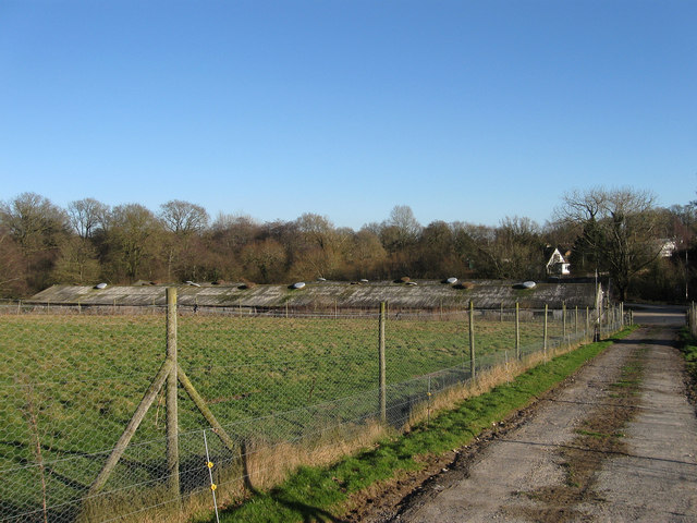
Image: © Simon Carey Taken: 30 Jan 2011
These sheds have been here since the 1970s and like another set to the west will probably be replaced in the near future. The drive is part of the footpath that runs from Redgill Lane to East Grinstead Road, the A275.
Images are licensed for reuse under creativecommons.org/licenses/by-sa/2.0
Image Location
Latitude
50.974503
Longitude
-0.009555