Hazelden Lane, North Chailey
Introduction
The photograph on this page of Hazelden Lane, North Chailey by Simon Carey as part of the Geograph project.
The Geograph project started in 2005 with the aim of publishing, organising and preserving representative images for every square kilometre of Great Britain, Ireland and the Isle of Man.

There are currently over 7.5m images from over 14,400 individuals and you can help contribute to the project by visiting https://www.geograph.org.uk
Hazelden Lane, North Chailey
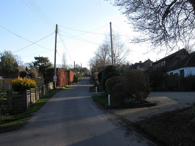
Image: © Simon Carey Taken: 30 Jan 2011
View from the end of the lane as it climbs the hill towards the A272. Originally a farm track it was developed after the Second World War.
Images are licensed for reuse under creativecommons.org/licenses/by-sa/2.0
Image Location
Latitude
50.973507
Longitude
-0.00917