Kiln Field
Introduction
The photograph on this page of Kiln Field by Simon Carey as part of the Geograph project.
The Geograph project started in 2005 with the aim of publishing, organising and preserving representative images for every square kilometre of Great Britain, Ireland and the Isle of Man.

There are currently over 7.5m images from over 14,400 individuals and you can help contribute to the project by visiting https://www.geograph.org.uk
Kiln Field
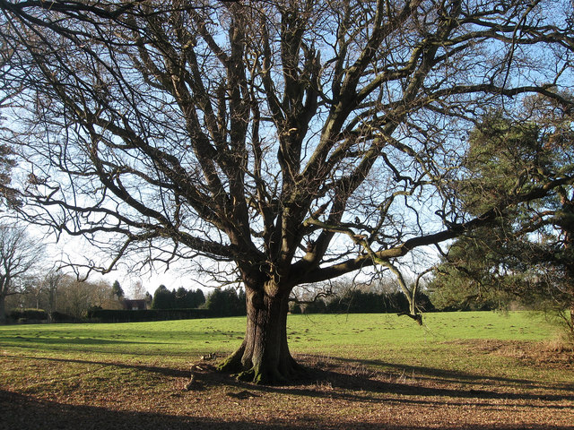
Image: © Simon Carey Taken: 30 Jan 2011
The name of the field according to the 1838 tithe map. The oak lies on an old field boundary which seems to suggest that Jackies Lane was much larger in width once but has been encroached upon and the field extended eastwards.
Images are licensed for reuse under creativecommons.org/licenses/by-sa/2.0
Image Location
Latitude
50.972096
Longitude
-0.000257