Lower Birchlands, Jackies Lane
Introduction
The photograph on this page of Lower Birchlands, Jackies Lane by Simon Carey as part of the Geograph project.
The Geograph project started in 2005 with the aim of publishing, organising and preserving representative images for every square kilometre of Great Britain, Ireland and the Isle of Man.

There are currently over 7.5m images from over 14,400 individuals and you can help contribute to the project by visiting https://www.geograph.org.uk
Lower Birchlands, Jackies Lane
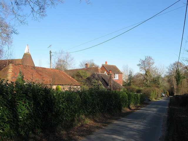
Image: © Simon Carey Taken: 30 Jan 2011
Former farm whose outbuildings have been converted into residences including the oast house to the left. The lane here serves as the parish boundary between Newick and chailey.
Images are licensed for reuse under creativecommons.org/licenses/by-sa/2.0
Image Location
Latitude
50.974891
Longitude
0.004564