The Coronet, Horley
Introduction
The photograph on this page of The Coronet, Horley by Jean Barrow as part of the Geograph project.
The Geograph project started in 2005 with the aim of publishing, organising and preserving representative images for every square kilometre of Great Britain, Ireland and the Isle of Man.

There are currently over 7.5m images from over 14,400 individuals and you can help contribute to the project by visiting https://www.geograph.org.uk
The Coronet, Horley
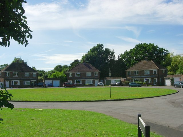
Image: © Jean Barrow Taken: 25 Aug 2006
An aptly named ring of houses on the southern outskirts of Horley.
Images are licensed for reuse under creativecommons.org/licenses/by-sa/2.0
Image Location
Latitude
51.164488
Longitude
-0.155002