Fordhouses Methodist Church
Introduction
The photograph on this page of Fordhouses Methodist Church by Richard Law as part of the Geograph project.
The Geograph project started in 2005 with the aim of publishing, organising and preserving representative images for every square kilometre of Great Britain, Ireland and the Isle of Man.

There are currently over 7.5m images from over 14,400 individuals and you can help contribute to the project by visiting https://www.geograph.org.uk
Fordhouses Methodist Church
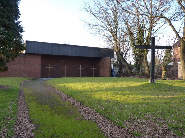
Image: © Richard Law Taken: 31 Jan 2011
The frontage of the church, facing onto the Stafford Road dual carriageway. God, these days, apparently needs to be accessed through steel security railings. No matter that they're each disguised with a cross, it's still a sad indictment on our times.
Images are licensed for reuse under creativecommons.org/licenses/by-sa/2.0
Image Location
Latitude
52.627479
Longitude
-2.128191