2011 : North West at the bottom of Scratchbury Hill
Introduction
The photograph on this page of 2011 : North West at the bottom of Scratchbury Hill by Maurice Pullin as part of the Geograph project.
The Geograph project started in 2005 with the aim of publishing, organising and preserving representative images for every square kilometre of Great Britain, Ireland and the Isle of Man.

There are currently over 7.5m images from over 14,400 individuals and you can help contribute to the project by visiting https://www.geograph.org.uk
2011 : North West at the bottom of Scratchbury Hill
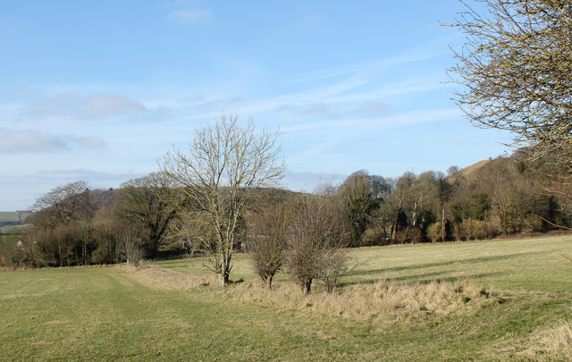
Image: © Maurice Pullin Taken: 30 Jan 2011
Among those trees the remains of the medieval village of Middleton hides. Probably a victim of the black death. The hill in the background to the left is Battlesbury.
Images are licensed for reuse under creativecommons.org/licenses/by-sa/2.0
Image Location
Latitude
51.19811
Longitude
-2.133765