Bournville : detached house viewed from Forestry Commission land
Introduction
The photograph on this page of Bournville : detached house viewed from Forestry Commission land by Jaggery as part of the Geograph project.
The Geograph project started in 2005 with the aim of publishing, organising and preserving representative images for every square kilometre of Great Britain, Ireland and the Isle of Man.

There are currently over 7.5m images from over 14,400 individuals and you can help contribute to the project by visiting https://www.geograph.org.uk
Bournville : detached house viewed from Forestry Commission land
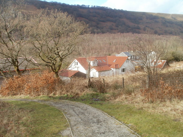
Image: © Jaggery Taken: 3 Feb 2011
Viewed from a footpath on the east side of Bournville Road. The house is adjacent to Bournville MoT Centre. http://www.geograph.org.uk/photo/2256122
Images are licensed for reuse under creativecommons.org/licenses/by-sa/2.0
Image Location
Latitude
51.748819
Longitude
-3.154439