St Paul's, Woldingham
Introduction
The photograph on this page of St Paul's, Woldingham by Robin Webster as part of the Geograph project.
The Geograph project started in 2005 with the aim of publishing, organising and preserving representative images for every square kilometre of Great Britain, Ireland and the Isle of Man.

There are currently over 7.5m images from over 14,400 individuals and you can help contribute to the project by visiting https://www.geograph.org.uk
St Paul's, Woldingham
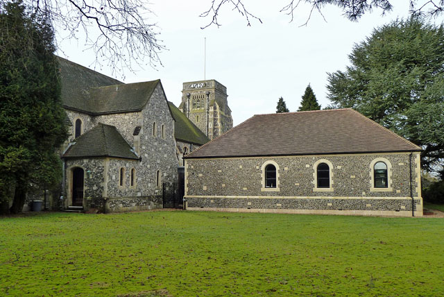
Image: © Robin Webster Taken: 3 Feb 2011
Depending on the view direction, this church and hall can be in each of four squares. The mid-point of these seems to be left hand corner of the church hall here. The tower is in TQ3656, this side of the church hall in TQ3756, the vestry(?) porch and the east end of the church in TQ3755, and the bulk of the church beyond in TQ3655.
Images are licensed for reuse under creativecommons.org/licenses/by-sa/2.0
Image Location
Latitude
51.286573
Longitude
-0.036533