Cote Road, Ripponden
Introduction
The photograph on this page of Cote Road, Ripponden by michael ely as part of the Geograph project.
The Geograph project started in 2005 with the aim of publishing, organising and preserving representative images for every square kilometre of Great Britain, Ireland and the Isle of Man.

There are currently over 7.5m images from over 14,400 individuals and you can help contribute to the project by visiting https://www.geograph.org.uk
Cote Road, Ripponden
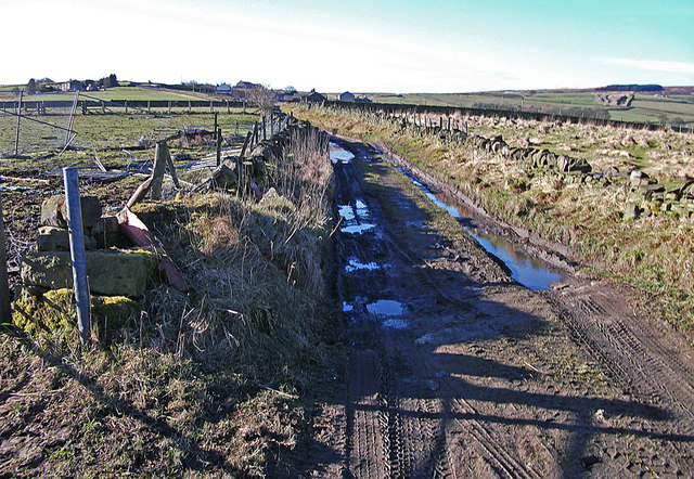
Image: © michael ely Taken: 3 Feb 2011
Cote Road is an un-surfaced road (bridleway status) that links Cross Wells Road with Green Lane to the northwest of Ripponden.
Images are licensed for reuse under creativecommons.org/licenses/by-sa/2.0
Image Location
Latitude
53.67592
Longitude
-1.957425