Runway 07, Langar
Introduction
The photograph on this page of Runway 07, Langar by Alan Murray-Rust as part of the Geograph project.
The Geograph project started in 2005 with the aim of publishing, organising and preserving representative images for every square kilometre of Great Britain, Ireland and the Isle of Man.

There are currently over 7.5m images from over 14,400 individuals and you can help contribute to the project by visiting https://www.geograph.org.uk
Runway 07, Langar
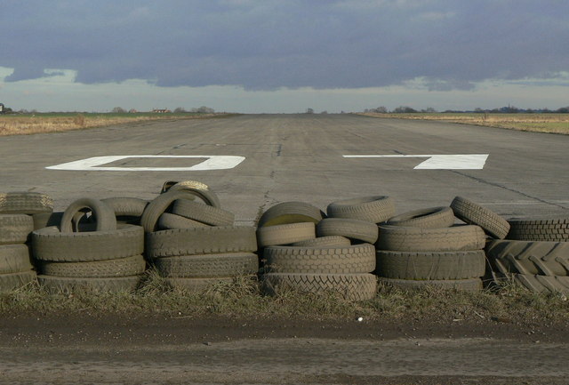
Image: © Alan Murray-Rust Taken: 24 Jan 2011
No question as to the direction of view? The runway designation means that we should be looking along a bearing of around 70 degrees; in practice the runway is aligned at 61 degrees (relative to Grid North), the discrepancy being due to the fact that the runway designation is based on the magnetic bearing, and of course the one that applied when the designation was made. For Geograph purposes ENE is good enough anyway!
Images are licensed for reuse under creativecommons.org/licenses/by-sa/2.0
Image Location
Latitude
52.893045
Longitude
-0.909987