Bingham Road near Langar
Introduction
The photograph on this page of Bingham Road near Langar by Alan Murray-Rust as part of the Geograph project.
The Geograph project started in 2005 with the aim of publishing, organising and preserving representative images for every square kilometre of Great Britain, Ireland and the Isle of Man.

There are currently over 7.5m images from over 14,400 individuals and you can help contribute to the project by visiting https://www.geograph.org.uk
Bingham Road near Langar
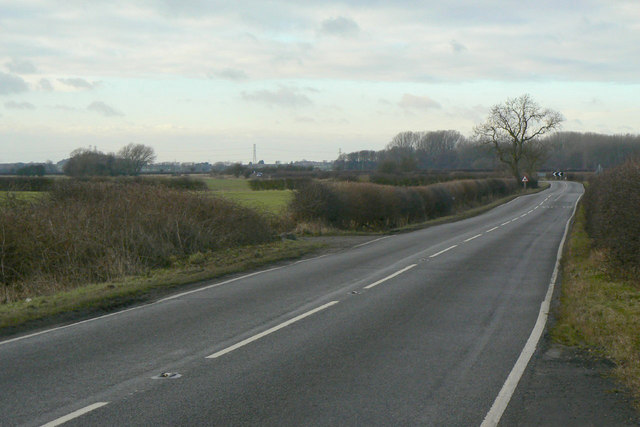
Image: © Alan Murray-Rust Taken: 24 Jan 2011
Looking north west from Wiverton Smite Bridge. This road is not classified, but in practice forms a major corridor through the western part of the Vale of Belvoir running in a more or less straight line from Bingham to Waltham on the Wolds.
Images are licensed for reuse under creativecommons.org/licenses/by-sa/2.0
Image Location
Latitude
52.915322
Longitude
-0.937833