Gravel pit, east of Ashton Keynes (1)
Introduction
The photograph on this page of Gravel pit, east of Ashton Keynes (1) by Brian Robert Marshall as part of the Geograph project.
The Geograph project started in 2005 with the aim of publishing, organising and preserving representative images for every square kilometre of Great Britain, Ireland and the Isle of Man.

There are currently over 7.5m images from over 14,400 individuals and you can help contribute to the project by visiting https://www.geograph.org.uk
Gravel pit, east of Ashton Keynes (1)
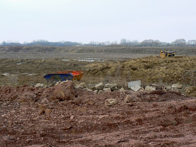
Image: © Brian Robert Marshall Taken: 31 Jan 2011
Although the site looks a little unloved it is still an ongoing gravel extraction operation. The viewpoint is from a bridleway that runs close to Fridays Ham Lane.
Images are licensed for reuse under creativecommons.org/licenses/by-sa/2.0
Image Location
Latitude
51.650344
Longitude
-1.916409