Cwmbran : Woodland Street houses viewed across Greenforge Way
Introduction
The photograph on this page of Cwmbran : Woodland Street houses viewed across Greenforge Way by Jaggery as part of the Geograph project.
The Geograph project started in 2005 with the aim of publishing, organising and preserving representative images for every square kilometre of Great Britain, Ireland and the Isle of Man.

There are currently over 7.5m images from over 14,400 individuals and you can help contribute to the project by visiting https://www.geograph.org.uk
Cwmbran : Woodland Street houses viewed across Greenforge Way
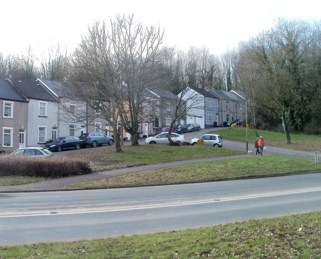
Image: © Jaggery Taken: 30 Jan 2011
A few metres beyond the end house on the right is the turning for houses in Glen View.
Images are licensed for reuse under creativecommons.org/licenses/by-sa/2.0
Image Location
Latitude
51.653736
Longitude
-3.033486