Woolston Shipyard
Introduction
The photograph on this page of Woolston Shipyard by David Mainwood as part of the Geograph project.
The Geograph project started in 2005 with the aim of publishing, organising and preserving representative images for every square kilometre of Great Britain, Ireland and the Isle of Man.

There are currently over 7.5m images from over 14,400 individuals and you can help contribute to the project by visiting https://www.geograph.org.uk
Woolston Shipyard
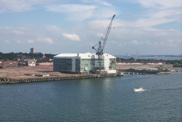
Image: © David Mainwood Taken: 29 Jun 2005
Most of the shipyard is now gone. Ships had been built there for over a hundred years. All soon to be houses and flats. St Mark's Church can be seen just behind and in the distance the flats at Weston. If you look very carefully you will see the Queen Elizabeth 2 sailing down river
Images are licensed for reuse under creativecommons.org/licenses/by-sa/2.0
Image Location


Leaflet Map data © OpenStreetMap
Latitude
50.895413
Longitude
-1.38356