The Longford River near Feltham
Introduction
The photograph on this page of The Longford River near Feltham by Marathon as part of the Geograph project.
The Geograph project started in 2005 with the aim of publishing, organising and preserving representative images for every square kilometre of Great Britain, Ireland and the Isle of Man.

There are currently over 7.5m images from over 14,400 individuals and you can help contribute to the project by visiting https://www.geograph.org.uk
The Longford River near Feltham
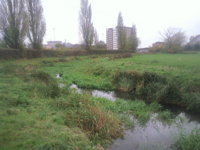
Image: © Marathon Taken: 17 Nov 2010
The Longford River was constructed in 1638 to take water from the River Colne. This would then supplement the water supply to Hampton Court and enable the development of the water features in the park. Here it flows between Bedfont Lane Recreation Ground on the right and Glebelands Playing Fields on the left.
Images are licensed for reuse under creativecommons.org/licenses/by-sa/2.0
Image Location
Latitude
51.451552
Longitude
-0.414173