Field south of Birchwood Lane
Introduction
The photograph on this page of Field south of Birchwood Lane by Robin Webster as part of the Geograph project.
The Geograph project started in 2005 with the aim of publishing, organising and preserving representative images for every square kilometre of Great Britain, Ireland and the Isle of Man.

There are currently over 7.5m images from over 14,400 individuals and you can help contribute to the project by visiting https://www.geograph.org.uk
Field south of Birchwood Lane
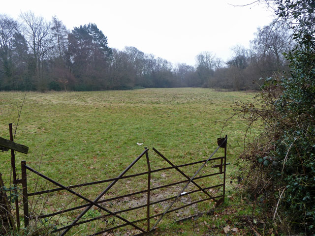
Image: © Robin Webster Taken: 1 Feb 2011
Not apparently used for anything at present, although something must have kept the grass short from the last growing season.
Images are licensed for reuse under creativecommons.org/licenses/by-sa/2.0
Image Location
Latitude
51.277934
Longitude
-0.107159