Hassocks: Ockenden Way
Introduction
The photograph on this page of Hassocks: Ockenden Way by Nigel Cox as part of the Geograph project.
The Geograph project started in 2005 with the aim of publishing, organising and preserving representative images for every square kilometre of Great Britain, Ireland and the Isle of Man.

There are currently over 7.5m images from over 14,400 individuals and you can help contribute to the project by visiting https://www.geograph.org.uk
Hassocks: Ockenden Way
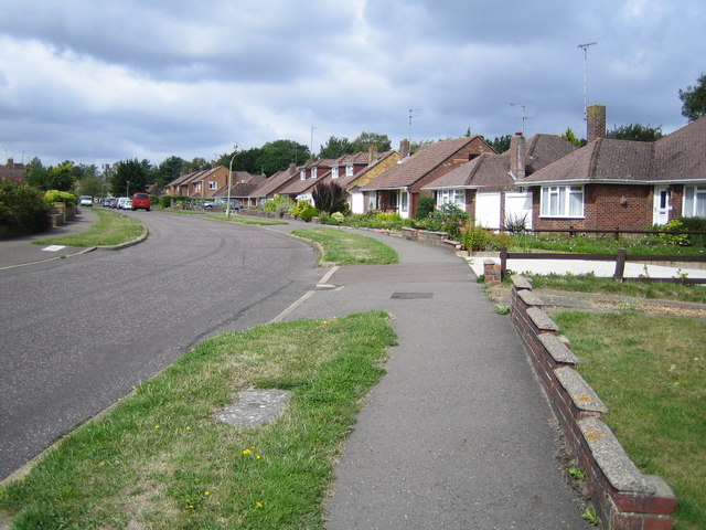
Image: © Nigel Cox Taken: 20 Aug 2006
A 1950s housing estate with a mixture of bungalows and houses.
Images are licensed for reuse under creativecommons.org/licenses/by-sa/2.0
Image Location


Leaflet Map data © OpenStreetMap
Latitude
50.921532
Longitude
-0.146132