Hassocks: Parklands Road
Introduction
The photograph on this page of Hassocks: Parklands Road by Nigel Cox as part of the Geograph project.
The Geograph project started in 2005 with the aim of publishing, organising and preserving representative images for every square kilometre of Great Britain, Ireland and the Isle of Man.

There are currently over 7.5m images from over 14,400 individuals and you can help contribute to the project by visiting https://www.geograph.org.uk
Hassocks: Parklands Road
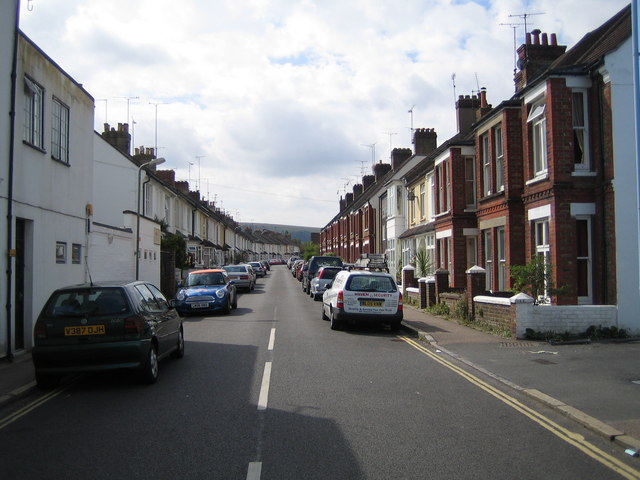
Image: © Nigel Cox Taken: 20 Aug 2006
The 1879 Ordnance Survey map does not show this road, but there is a large house nearby on Keymer Road called "Parklands".
Images are licensed for reuse under creativecommons.org/licenses/by-sa/2.0
Image Location
Latitude
50.923262
Longitude
-0.141795