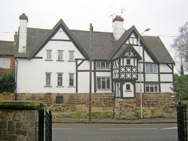
The Key House
Introduction
The photograph on this page of The Key House by Trevor Rickard as part of the Geograph project.
The Geograph project started in 2005 with the aim of publishing, organising and preserving representative images for every square kilometre of Great Britain, Ireland and the Isle of Man.
There are currently over 7.5m images from over 14,400 individuals and you can help contribute to the project by visiting https://www.geograph.org.uk

Image: © Trevor Rickard Taken: 23 Jan 2011
Situated on the west side of the High Street. This timber-framed house was built by Thomas Roby in 1636. The two-storey porch at the front (inscribed 1595) was moved from Hall Farm on the other side of the road when it was demolished. Hung in the eaves of the building are actual keys accompanied by inscriptions of initials and dates to indicate various owners and when they carried out improvements - starting at the front above the porch with "TR 1636" and the latest being "FWM 1953 + 2006" around the side.

