Victoria Park
Introduction
The photograph on this page of Victoria Park by Gerald England as part of the Geograph project.
The Geograph project started in 2005 with the aim of publishing, organising and preserving representative images for every square kilometre of Great Britain, Ireland and the Isle of Man.

There are currently over 7.5m images from over 14,400 individuals and you can help contribute to the project by visiting https://www.geograph.org.uk
Victoria Park
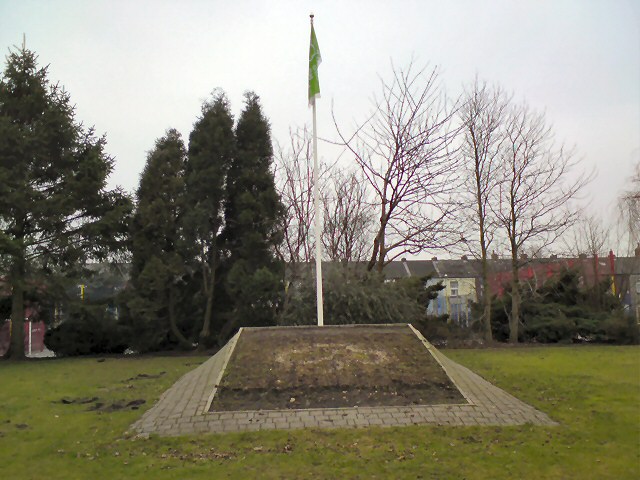
Image: © Gerald England Taken: 31 Jan 2011
Behind the War Memorial in Victoria Park is a flag pole and space for a floral display. Currently it has been cleared awaiting replanting.
Images are licensed for reuse under creativecommons.org/licenses/by-sa/2.0
Image Location
Latitude
53.454579
Longitude
-2.116217